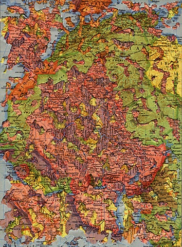
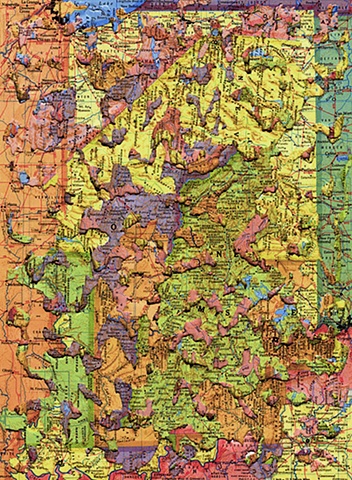
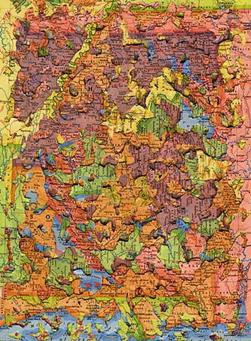
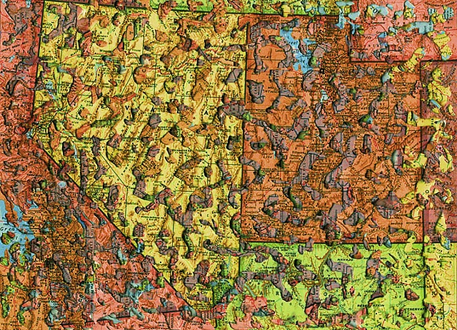
Erosion
collage
13 x 9 in.
2004
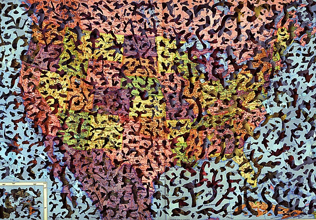
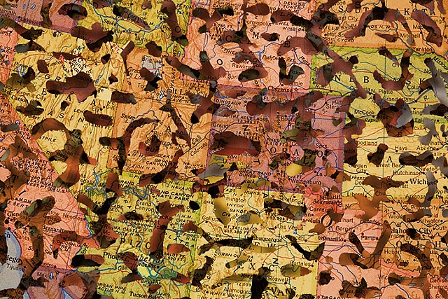
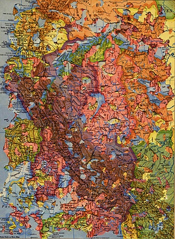
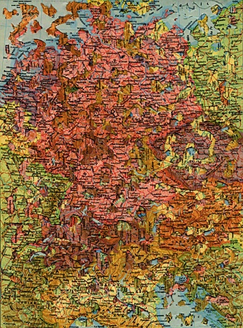
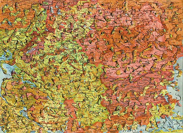
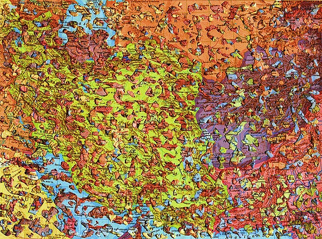
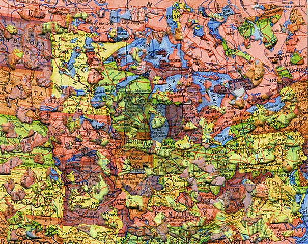
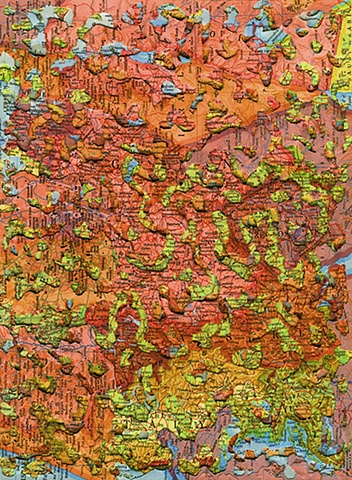
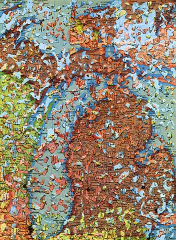
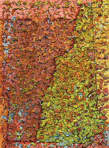
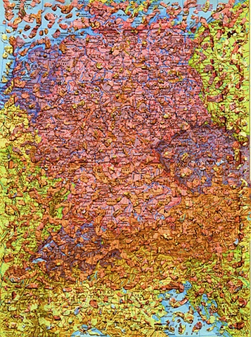
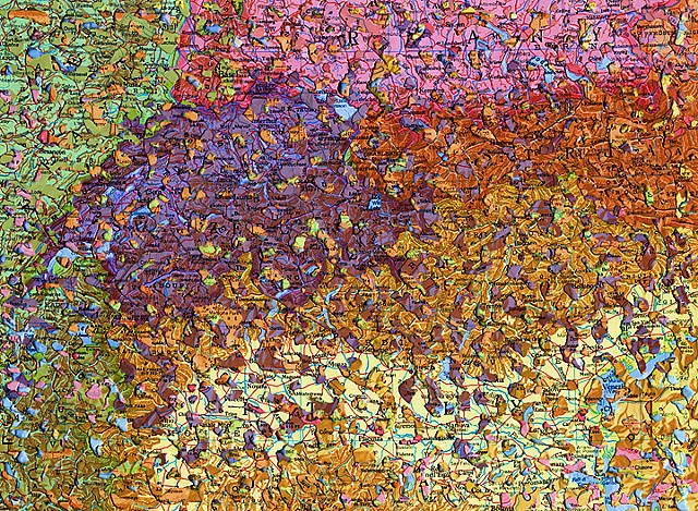
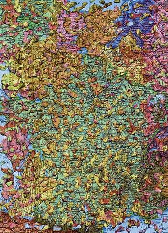
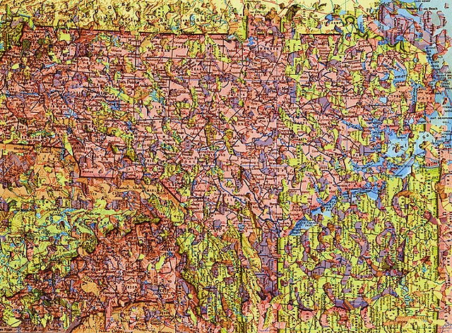
In the “Erosion Series,” the ever-changing landscape of international relations is a primary theme in these altered pages from world atlases. With the idea of geopolitical malleability as my inspiration, I work formally, intuitively finding color-field relationships and formal compositions in the selected maps, and then gouge out the irregular forms using a belt sander on the reverse side of the pages. The remaining holes appear as if insects have eaten through the topography, eroding the landscape of numerous countries while forging new lakes, riverbeds, and islands. Serendipitous encounters occur. Blue seas and oceans are spotted with yellow, green, and orange landmasses from several pages below. Each revision challenges our presumptions about maps and their representations of world alliances and political sovereignty, altering the reader’s ability to navigate comfortably through borders and boundaries of all sorts.
